While the Thu Thiem Bridge and Thu Thiem Tunnel allow easy access to the District 2 peninsula from nearby districts, for decades past Saigoneers had to rely on the Thu Thiem Ferry to cross the river.
According to historical records, the earliest depictions of life in the Thu Thiem Peninsula date back to the eras of Tu Duc, the fourth emperor of the Nguyen Dynasty. An excerpt from Dai Nam Nhat Thong Chi, a Chinese-language geography journal written at the time, describes a local market in the area:

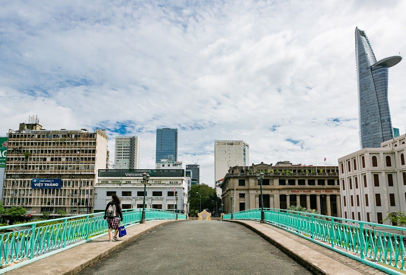
The Quai de l'Argonne on the District 1 side.
An article on Tri Thuc opines that Nghia An District now belongs to parts of District 2 and 9 while Binh Giang was the ancient name of the Saigon River. From the docks of Thu Thiem, commuters could travel upstream toward Binh Quoi or even Thu Dau Mot in Binh Duong Province or across the river to District 1, known as Gia Dinh Province at the time. This account proves that there was a thriving community in Thu Thiem in the mid to late 19th century and hence, a functional but rudimentary ferry system.
There are conflicting accounts regarding the meaning behind Thu Thiem. Some contend that it’s a mispronunciation of Cuu Thiem, the name of the original market in the area while others believe it refers to a guard post that used to be based in the neighborhood from the end of the 18th century. "Thủ" means guard post and "Thiêm" was perhaps the name of the head of the post. The then government established the structure to monitor traffic on the river while providing a layer of protection for the city center.

Me Linh Square in 1972 with the ferry station just a stone's throw away.
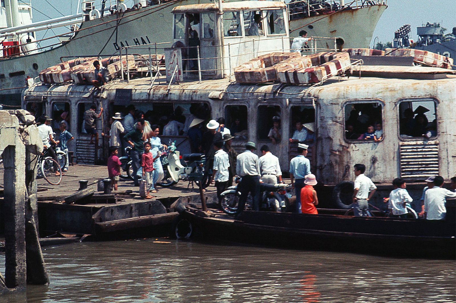
Apart from the guard building and the market, Thu Thiem also housed a few pagodas, temples and shops surrounding the ferry station. The community started thriving even more in the 1960s when the Caric Shipbuilding Company was established and put two 20-ton ferries into use to facilitate movement across the two river banks. By 1964, the service boasted a proper alighting platform with four ferries, known among Saigoneers by the nickname “duck egg” ferries due to their shape.
Each ferry had two stories, capable of holding cars, bikes, bicycles and tricycles in addition to commuters on foot. In 1975, the city’s department of transport reduced the number of floors to only one out of fear of the tall ferries toppling over during stormy weather.
In recent decades, the population of Thu Thiem has significantly dwindled due to relocation efforts for real estate development, but the Thu Thiem Ferry service operated religiously every day at least until the mid-2000s. In 2012, the ferry’s operator had 44 staff members, some of whom have been on the job for 20 to 30 years. A handful of ferry staff even represented up to two generations employed.
A bird's-eye view of the ferry's operation in 2011. Video via YouTube user Rob Whitworth.
Things started changing in 2007 when the first Thu Thiem Bridge opened, linking Thu Thiem with Binh Thanh District. In 2011, Saigon saw the launch ceremony of the Thu Thiem Tunnel, which goes beneath the Saigon River, connecting the peninsula with District 1, 5, 6 and 8. The new pathways – coupled with relocation efforts – reduced the number of passengers on the ferry significantly.
In October 2011, Saigon authorities made the decision to permanently stop the ferry service on the first day of 2012, after 100 years in operation. Apart from the existing Thu Thiem bridge and tunnel, municipal officials have announced many additional bridge projects linking other city regions like District 7 and even downtown District 1 with Thu Thiem.
Have a look at some old photos of the Thu Thiem Ferry’s past iterations below:


[Photos via Flickr user manhhai]


